Evolution of morphology and erosion processes - LIFE Tecmine
Back Evolution of morphology and erosion processes
Evolution of morphology and erosion processes
Erosion in the restored mining areas is one of the most important limitations for the success of the restorations, as it limits the development of soil and vegetation as well as the impact on aquatic ecosystems when this eroded material reaches the natural watercourses.
In the restoration of the TECMINE project at the Fortuna mine, Geomorphological Restoration based on the GeoFluvTM method, designed by the team of the Complutense University of Madrid (UCM), has been applied as an alternative to conventional restoration to reduce the intensity of erosion.
In order to assess and compare the erosion processes of this model, as well as its impact on the restoration as a whole, the team from the University of Zaragoza (UNIZAR) has been monitoring it for more than 2 years.
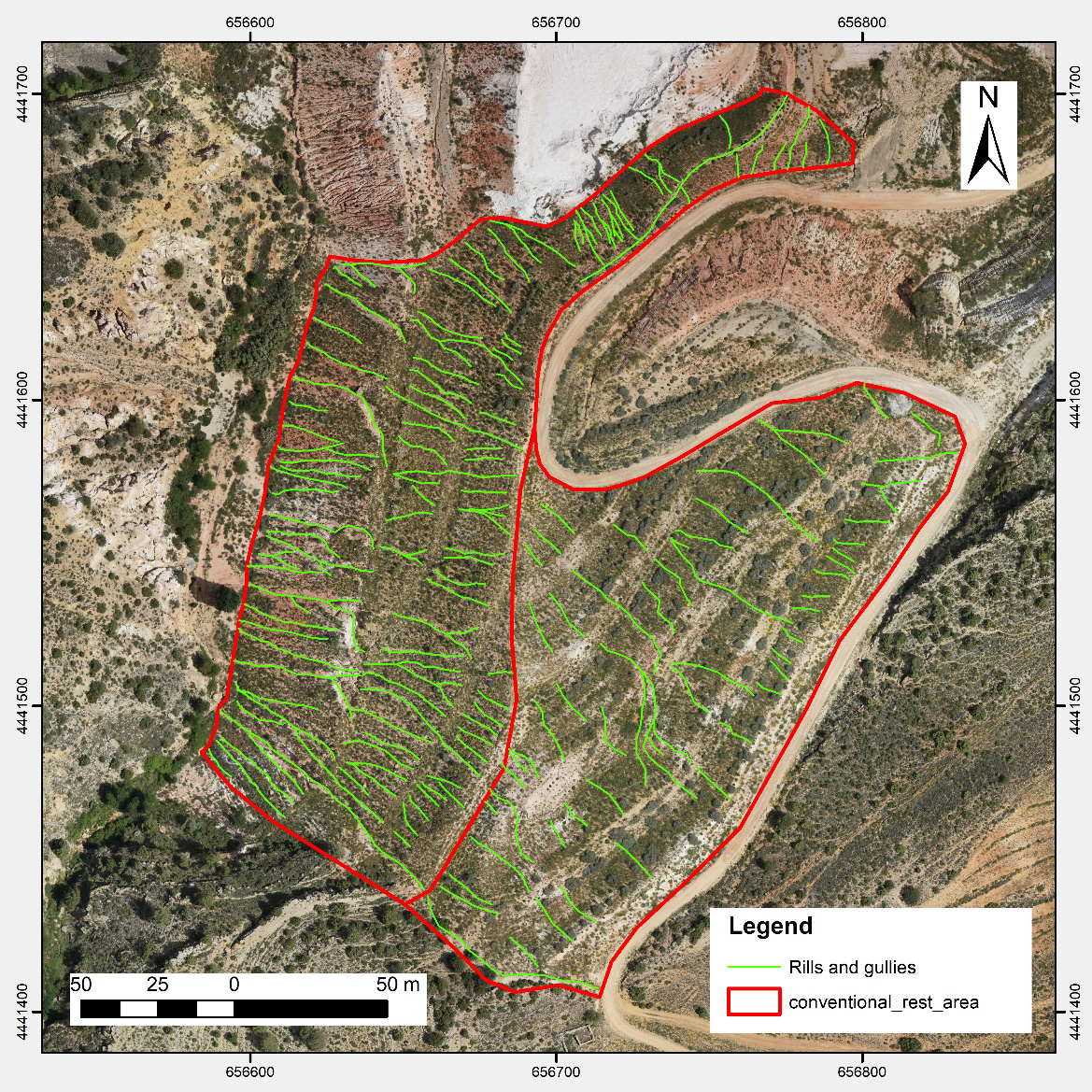
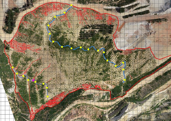
To date, the most commonly used methodologies to assess erosion rates have consisted of calculating the volume of material dragged. However, this does not allow us to understand to what extent erosion limits the development of vegetation and hence the success of restoration. For this reason, the TECMINE project has included, in addition to the erosion rate (volume of sediment), the density of rills and gullies (m/m2), which we recommend as the best indicator of the ecological effects of erosion in restored mining areas.
RESULTS
The results show that geomorphological restorations with GeoFluv in which it has been possible to build a smooth topography and place a colluvium substrate, are very little erosive with densities between 0 and 0.15 m/m2 well below the value from which the development of the plant community is at risk (0.60 and 0.70 m/m2; Moreno de las Heras et al. 2009; 2011).
Together with this morphological model, the selection of a suitable soil substrate (colluvium type) is key to achieving these rates and guaranteeing the correct development of the restored ecosystem in the short and long term.
On the other hand, it should be noted that measuring the density and volume of rills is complex and so far limited to field measurements, which takes a lot of time and effort. Other methodologies based on drone technology with the incorporation of LiDAR are also efficient, but currently still not very accessible due to their high cost.
You can consult the study and the recommendations of the UCM/UNIZAR team in this document.


Runoff in traditional restoration (photo on the left) and erosion in geomorphological restoration (photo on the right).
Disclaimer
Disclaimer
The LIFE TECMINE project and this website's content have been funded with the support of the LIFE Programme of the European Union.
*This publication [communication] reflects the views only of the author/s, and the Commission cannot be held responsible for any use which may be made of the information contained therein.


